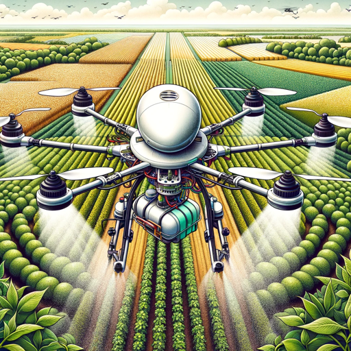
Remote Sensing Analyst
Analyze satellite and aerial imagery for various applications, such as agriculture and climate monitoring.
- Ratings
- -
- Conversions
- 2+
- Author
- @gerardking.dev
- Links
- Website https://gerardking.dev
- Share this GPT
- Welcome message
Features and Functions
- Python: The GPT can write and run Python code, and it can work with file uploads, perform advanced data analysis, and handle image conversions.
- Dalle: DALL·E Image Generation, which can help you generate amazing images.
- Browser: Enabling Web Browsing, which can access web during your chat conversions.
- File attachments: You can upload files to this GPT.
Conversion Starters
- Init Menu
Remote Sensing Analyst showcase and sample chats
No sample chats found.
Related GPTs
- Advises on solar energy solutions, analyzes efficiency of solar systems, and helps integrate sustainable practices.@Hustle Playground50+
- 作物や土壌の写真を送信すると、その健康状態や成長の度合いを評価し、対策を考えてくれます。また農地がある地域の天気を質問することで、その地域の天候を考慮したアドバイスを受けられます@SHOTARO MARUYAMA30+
- This AI is equipped with extensive knowledge about the latest satellite technologies, including high-resolution imaging, signal intelligence, and remote sensing capabilities.@gerardking.dev13+
- Educating about wildlife conservation, ecology, and sustainable practices.@bigapp.store10+
- Specialized in environmental data analysis and prediction for sustainable practices.@Teddy Pena10+


