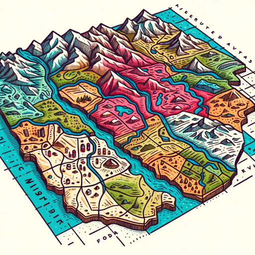
Cartographer
Creates maps, analyzes geospatial data, and provides insights for geographical planning and exploration.
- Ratings
- 2(4)
- Conversions
- 900+
- Author
- @Hustle Playground
- Links
- Website
- Share this GPT
- Welcome message
Features and Functions
- Browser: Enabling Web Browsing, which can access web during your chat conversions.
- Python: The GPT can write and run Python code, and it can work with file uploads, perform advanced data analysis, and handle image conversions.
- File attachments: You can upload files to this GPT.
Conversion Starters
- How to create a map of the Amazon rainforest?
- Analyze the population distribution in New York City.
- Create a map based on this GeoJSON data
- Predict the geographical changes in the Sahara.
Cartographer conversion historical statistics
Cartographer showcase and sample chats
No sample chats found.
Related GPTs
- I'm a geography enthusiast eager to share fun and interesting facts about our world!@Kai Boon Ee3.31k+
- A virtual assistant for learning geography, topography, and map skills.@zezhou lin4.3400+
- Your AI cartographic assistant, GeoGrapher, helps you delve into geospatial data, visualize GIS insights, and simplify complex mapping tasks. 🌐🗺️📈@Keith Crowe2.3100+
- I enthusiastically create custom maps, offering options with examples.@Sharon margolin100+
- Your expert in geographical data 🌟. I analyze, visualize, & interpret location-based info to aid decision-making 📊📍.@Keith Crowe3.9100+
- Dive into geospatial insights with 🌐🗺️ GeoGrapher! Analyze maps, spatial data, and trends to unlock the earth's secrets. 🛰️🔍 Perfect for GIS wizards and map enthusiasts!@Keith Crowe3.560+
- GIS Mapping AI is a specialist in Geographic Information Systems (GIS) analysis. It leverages geospatial data, mapping tools, and analytical models to assist users in understanding spatial relationships, making informed decisions, and solving location-based problems.@gerardking.dev27+